-
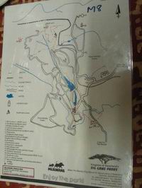
See map. Starting point is (1)
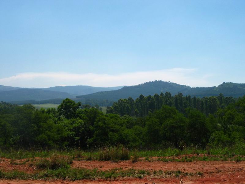
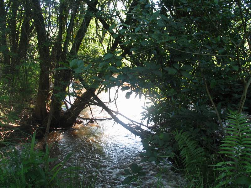
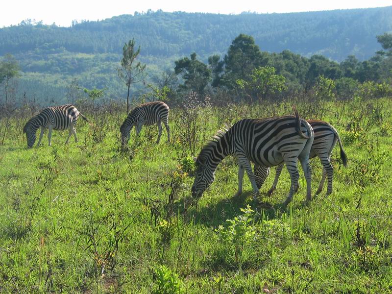
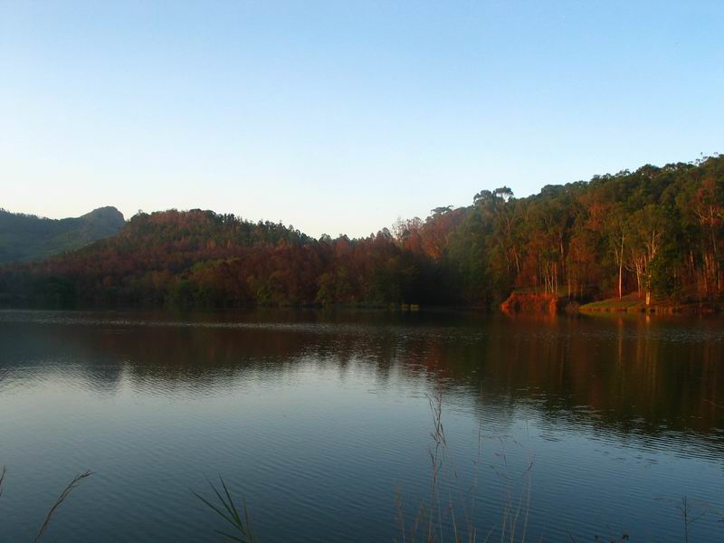
- The Mlambanyasi Trail is a loop around the hippo pool takes about ~1.5 hours for good hikers. The eastern side follows the river and some open ground where it is very easy to spot wildlife. Veru nice at sunset. The western side meanders through thicker vegetation, where mosquitoes can be very annoying.
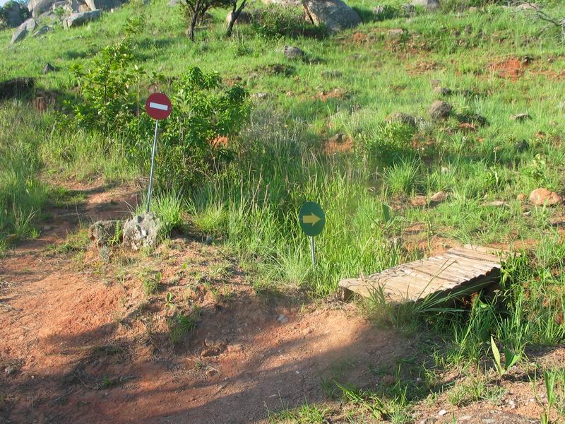
- From the junction north of the lake one can proceed further towards the hills. The map that is distributed at the information booth is not to scale and therefore quite misleading for the distances. The trail is occasionally marked with a black foot painted on yellow bricks.
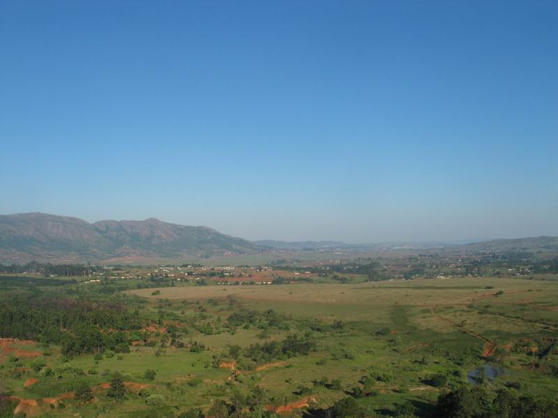
- Walking north, follow directions to the Macobane Trail. Your point of reference is the big peak you see in front of you: that is the Nyonyone Peak. At some point you have to cross a fence with a ladder.
- After you start going uphill you will be at a fork indicating that you are crossing the Macobane Trail. You can get to the top of Nyonyone Peak turning both right and left.
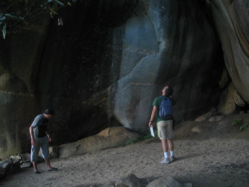
- The right turn leads to a much longer but very panoramic trail that gos through a natural cave (Bushman's Cave).
- The left turn is a more direct way to the top. Note that the markings with the black feet indicate the right turn only.
- An alternative for the way back is a detour on Reilly's Rock (9), where you have to improvise your trail, but you end up in a spectacular lodge in the middle of nowhere.
- The whole thing (campsite -> lake -> peak -> lodge -> lake -> campsite) can probably be done in 4-5 hours by fast hikers.
Map
Other resources